GIS Mapping
Visualize the Geographic Reach of Your Network
Map Your Connections Across the Community
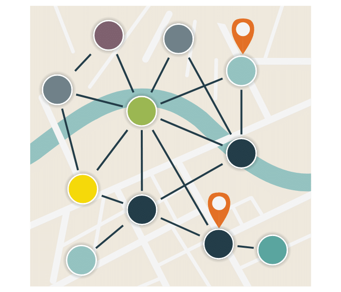
With PARTNER CPRM’s GIS Mapping, gain a geographical perspective on your community partnerships. Use base layers with community-level data to understand how local conditions influence network dynamics, enabling tailored strategies that align with specific community needs.

Interactive Visualizations
Interactive displays of geographic network data to learn more about nodes and data.
GIS Data
Base Layers
Incorporate demographic and socioeconomic data layers into your maps.
Customizable
Views
Tailor maps to show specific types of connections or data points in an area.
Each feature is designed to provide deep insights and practical tools to manage your community relationships strategically.
Explore Place-Based Insights in Your Network
PARTNER CPRM’s GIS Mapping isn’t just about seeing where things are—it’s about understanding how the location impacts community relationships. From urban centers to rural areas, visualize and plan interventions more effectively by seeing the bigger picture with GIS mapping, included with every PARTNER CPRM ecosystem.
The Advantages of GIS Mapping
- Make informed decisions based on geographic insights.
- Identify regional opportunities and challenges.
- Enhance targeted outreach and resource allocation.

What Our Users Say


